
Page 8 - NLN Oct18
P. 8
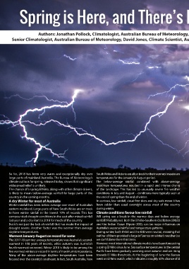
Spring is Here, and There’s Little Drought Relief in Sight


                         Authors: Jonathan Pollock, Climatologist, Australian Bureau of Meteorology, Catherine Ganter,
         Senior Climatologist, Australian Bureau of Meteorology, David Jones, Climate Scientist, Australian Bureau of Meteorology


       So far, 2018 has been very warm and exceptionally dry over  South Wales and Victoria are all on track for their warmest maximum
       large parts of mainland Australia. The Bureau of Meteorology’s  temperatures for the January to August period.
       climate outlook for spring, released today, shows that significant  The below-average rainfall combined with above-average
       widespread relief is unlikely.                         maximum temperatures resulted in a rapid and intense drying
       The chance of a spring El Niño, along with other climate drivers,  of the landscape. This has  led to  unusually severe  fire weather
       is likely to mean below-average rainfall for large parts of the  conditions in July and August – conditions more typically seen at
       country in the coming months.                          the end of spring than the end of winter.
       A dry Winter for most of Australia                     In contrast, low rainfall, cloud-free skies and dry soils mean it has
       Winter rainfall has been below average over most of Australia’s  been colder than usual overnight across most of the country
       eastern mainland. Large parts of New South Wales are on track  during winter.
       to have winter rainfall in the lowest 10% of records. This has  Climate conditions favour low rainfall
       compounded drought conditions in the east after mixed rainfall  Will spring see a break in the warmer days and below average
       last year and a dry start to 2018 for much of the country.  rainfall? Probably not. Both the El Niño-Southern Oscillation (ENSO)
       But it’s not just the lack of rainfall that has made the impact of  and the Indian Ocean Dipole (IOD), can be major influences on
       drought severe. Another factor was the warmer than average  Australia’s seasonal rainfall and temperature patterns.
       daytime temperatures.                                  During winter, both ENSO and the IOD were neutral, meaning that
       Warmest January-August on record for some              neither of them provided a large influence on winter’s weather (so
       The 2017-18 summer average temperature was Australia’s second-  we can’t blame them this time).
       warmest in 108 years of records, while autumn was Australia’s  However, most international climate models have been forecasting
       fourth-warmest on record. Winter 2018 is likely to be among the  a spring El Niño since June. Sea surface temperatures in the central
       five warmest winters on record in terms of maximum temperatures.  Pacific have been gradually warming since autumn and are rising
       Many  of  the  above-average  daytime  temperatures  have  been  towards El Niño thresholds. At the beginning of June the Bureau
       focused over the country’s southeast. In fact, South Australia, New  went on El Niño watch, which indicates a roughly 50% chance of El